
Task: As you come into class please pick up the K-W-L chart from the A-V cart at the front of the room. While you're completing the K-W portions of the chart, we'll check for homework completion.
Then, we'll spend some time discussing chapter 2, section 2 reading notes. Next, you'll investigate the development of map-making and map-projections with a historical map study and we'll review locating using latitude and longitude. Finally, we'll end class with a short writing assignment in which you must take on the role of cartographer.
Homework:
- TODAY - Chapter 1, Section 2 reading notes due in class
- Thursday, January 30 - Geography Skills (Section 3 of chapter 1) notes due in class
- Thursday, January 30 - Geography chapter 1 reading quiz (notes may be used on quiz)
- Friday, January 31 - Foundations Investigation due
Images for historical map study (click on image to go to site)
Image 1:
 |
This image was copied from Nick Strobel's Astronomy Notes. Go to his site at www.astronomynotes.com for the updated and corrected version. |
Image 2:
 |
| This images is from Wikimedia Commons. http://en.wikipedia.org/wiki/File:JesuitChineseWorldMapEarly17thCentury.jpg |
Image 3:
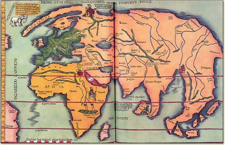
%2C+by+Wilibald+Pirkheimer.+Ptolemy%27s+map+showed+the+inhabited+world+as+it+was+known+to+the+Greeks+and+Romans+of+about+100-150+CE.+1525%2C+Nuremberg)
No comments:
Post a Comment